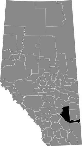
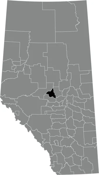
Black Flat Blank Highlighted Location Map Parkland County Municipal District — ストックベクタ

Black flat blank highlighted location map of the PARKLAND COUNTY municipal district inside gray administrative map of the Canadian province of Alberta, Canada — ベクター

Black flat blank highlighted location map of the PARKLAND COUNTY municipal district inside gray administrative map of the Canadian province of Alberta, Canada

 — ベクターmomcilo.jovanov

同じシリーズからのコンテンツ:

Black flat blank highlighted location map of the SPECIAL AREA NO. 4 inside gray administrative map of the Canadian province of Alberta, Canada
Black Flat Blank Highlighted Location Map Special Area Gray Administrative — ストックベクタ
Black flat blank highlighted location map of the FLAGSTAFF COUNTY municipal district inside gray administrative map of the Canadian province of Alberta, Canada
Black Flat Blank Highlighted Location Map Flagstaff County Municipal District — ストックベクタ
Black flat blank highlighted location map of the BEAVER COUNTY municipal district inside gray administrative map of the Canadian province of Alberta, Canada
Black Flat Blank Highlighted Location Map Beaver County Municipal District — ストックベクタ
Black flat blank highlighted location map of the SPECIAL AREA NO. 2 inside gray administrative map of the Canadian province of Alberta, Canada
Black Flat Blank Highlighted Location Map Special Area Gray Administrative — ストックベクタ
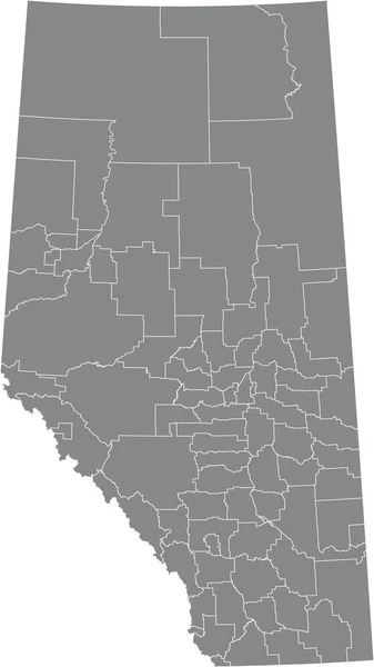
Gray flat blank vector administrative map of Canadian province of ALBERTA, CANADA with white border lines of its municipal districts, special areas, specialized municipalities and improvement districts
Gray Flat Blank Vector Administrative Map Canadian Province Alberta Canada — ストックベクタ
Black flat blank highlighted location map of the BONNYVILLE NO. 87 municipal district inside gray administrative map of the Canadian province of Alberta, Canada
Black Flat Blank Highlighted Location Map Bonnyville Municipal District Gray — ストックベクタ
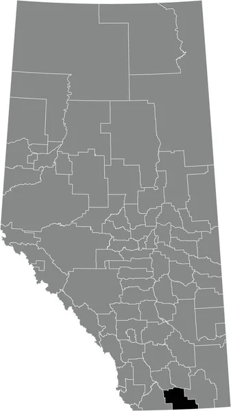
Black flat blank highlighted location map of the COUNTY OF WARNER NO. 5 municipal district inside gray administrative map of the Canadian province of Alberta, Canada
Black Flat Blank Highlighted Location Map County Warner Municipal District — ストックベクタ
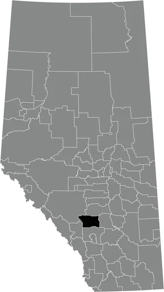
Black flat blank highlighted location map of the MOUNTAIN VIEW COUNTY municipal district inside gray administrative map of the Canadian province of Alberta, Canada
Black Flat Blank Highlighted Location Map Mountain View County Municipal — ストックベクタ
Black flat blank highlighted location map of the BIGHORN NO. 8 municipal district inside gray administrative map of the Canadian province of Alberta, Canada
Black Flat Blank Highlighted Location Map Bighorn Municipal District Gray — ストックベクタ
Black flat blank highlighted location map of the COUNTY OF VERMILION RIVER municipal district inside gray administrative map of the Canadian province of Alberta, Canada
Black Flat Blank Highlighted Location Map County Vermilion River Municipal — ストックベクタ
Black flat blank highlighted location map of the COUNTY OF STETTLER NO. 6 municipal district inside gray administrative map of the Canadian province of Alberta, Canada
Black Flat Blank Highlighted Location Map County Stettler Municipal District — ストックベクタ
Black flat blank highlighted location map of the COUNTY OF BARRHEAD NO. 11 municipal district inside gray administrative map of the Canadian province of Alberta, Canada
Black Flat Blank Highlighted Location Map County Barrhead Municipal District — ストックベクタ
Black flat blank highlighted location map of the KNEEHILL COUNTY municipal district inside gray administrative map of the Canadian province of Alberta, Canada
Black Flat Blank Highlighted Location Map Kneehill County Municipal District — ストックベクタ
Black flat blank highlighted location map of the WAINWRIGHT NO. 61 municipal district inside gray administrative map of the Canadian province of Alberta, Canada
Black Flat Blank Highlighted Location Map Wainwright Municipal District Gray — ストックベクタ
Black flat blank highlighted location map of the FOOTHILLS COUNTY municipal district inside gray administrative map of the Canadian province of Alberta, Canada
Black Flat Blank Highlighted Location Map Foothills County Municipal District — ストックベクタ
Black flat blank highlighted location map of the TABER municipal district inside gray administrative map of the Canadian province of Alberta, Canada
Black Flat Blank Highlighted Location Map Taber Municipal District Gray — ストックベクタ

利用情報

このロイヤリティフリーのベクター画像「 Black flat blank highlighted location map of the PARKLAND COUNTY municipal district inside gray administrative map of the Canadian province of Alberta, Canada 」は、標準ライセンスまたは拡張ライセンスに従って、個人的および商業的な目的で使用できます。標準ライセンスは、広告、UIデザイン、製品パッケージなど、ほとんどのユースケースをカバーし、最大500,000部の印刷を許可します。拡張ライセンスでは、無制限の印刷権を持つ標準ライセンスに基づくすべてのユースケースが許可され、ダウンロードしたベクターファイルを商品、製品の再販、または無料配布に使用できます。

このストックベクトル画像は、任意のサイズにスケーラブルです。最大3664x6506 の高解像度で購入およびダウンロードできます。 アップロード日: 2022年1月10日