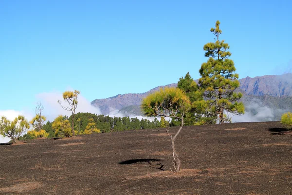
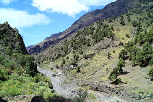
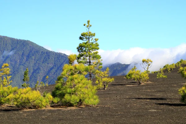
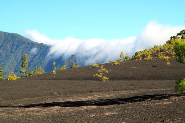
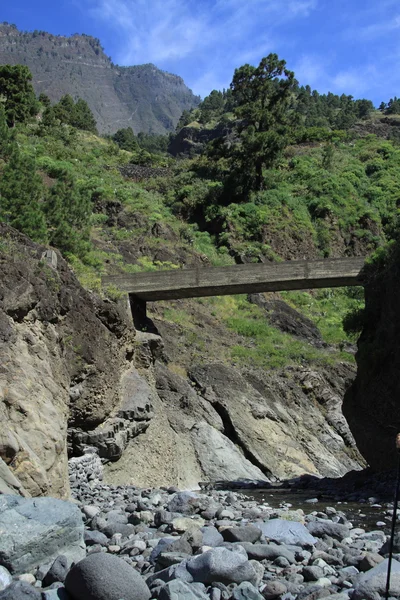
火山のエリア — ストック写真

火山のエリア — ストック画像

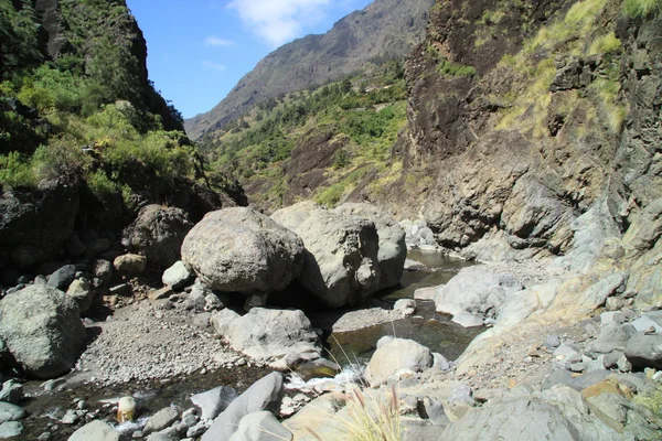
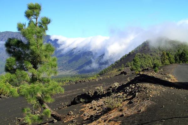
ラ ・ パルマ島の火山領域

 — [著者]の写真 Mayerberg

同じシリーズからのコンテンツ:

火山島ラ ・ パルマ周辺
火山のエリア — ストック写真
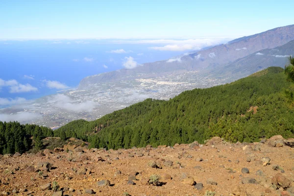
島ラ・パルマの美しいパノラマの景色
ラ ・ パルマ島の西部海岸 — ストック写真
Volcano De Caldera de la Taburiente is one of the largest erosion craters in the world and is centrally located on La Palma. The diameter of the crater is eight kilometers with a depth of 1500 to 2000 meters
ラ ・ パルマ島国立公園カルデラ ・ デ ・ タブリエンテ — ストック写真
Volcano De Caldera de la Taburiente is one of the largest erosion craters in the world and is centrally located on La Palma. The diameter of the crater is eight kilometers with a depth of 1500 to 2000 meters
雲罫線の上 — ストック写真
ラ ・ パルマ島はアフリカの横に、大西洋のカナリア諸島の 1 つ
美しい火山風景のカナリア島ラ パルマ — ストック写真
Volcano De Caldera de la Taburiente is one of the largest erosion craters in the world and is centrally located on La Palma. The diameter of the crater is eight kilometers with a depth of 1500 to 2000 meters
ラ ・ パルマ島国立公園カルデラ ・ デ ・ タブリエンテ — ストック写真
Volcano De Caldera de la Taburiente is one of the largest erosion craters in the world and is centrally located on La Palma. The diameter of the crater is eight kilometers with a depth of 1500 to 2000 meters
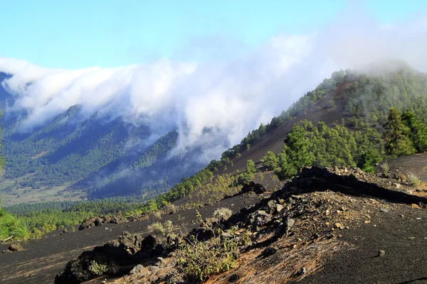
火山の壁に這う雲 — ストック写真
火山島ラ ・ パルマ周辺
火山のエリア — ストック写真
Volcano De Caldera de la Taburiente is one of the largest erosion craters in the world and is centrally located on La Palma. The diameter of the crater is eight kilometers with a depth of 1500 to 2000 meters
ラ ・ パルマ島国立公園カルデラ ・ デ ・ タブリエンテ — ストック写真
ラ ・ パルマ島の火山のカルデラ
カルデラ デ タブリエンテ — ストック写真
ラ ・ パルマ タブリエンテ火山カルデラ
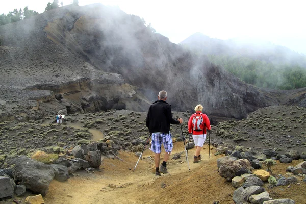
火山の上を歩く — ストック写真
ラ ・ ゴメラ島の小さな島エレメント カナリアに見るべきものは、します。
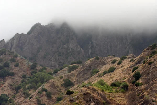
先の尖った先端の高い山 — ストック写真
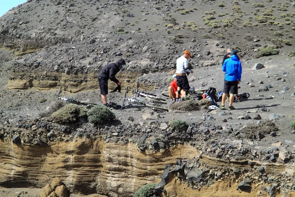
ラ ・ パルマ島の canarische の火山の上に自転車
火山の上に自転車 — ストック写真
ラ・パルマのカナリア島の火山デカルデラ・デ・ラ・タブリエンテ
火山を這う雲 — ストック写真

利用情報

このロイヤリティフリーの写真「 火山のエリア 」は、標準ライセンスまたは拡張ライセンスに従って、個人的および商業的な目的で使用できます。標準ライセンスは、広告、UIデザイン、製品パッケージなど、ほとんどのユースケースをカバーし、最大500,000部の印刷を許可します。拡張ライセンスでは、無制限の印刷権を持つ標準ライセンスに基づくすべての使用例が許可され、ダウンロードしたストック画像を商品、製品の再販、または無料配布に使用できます。

このストックフォトを購入して、最大4134x2756 の高解像度でダウンロードできます。 アップロード日: 2013年5月18日