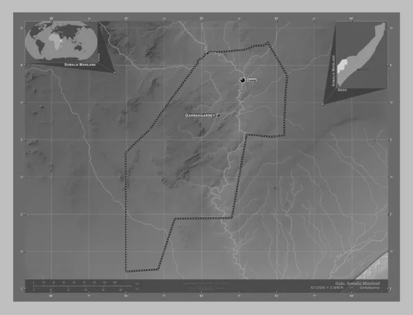
Gedo Region Somalia Grayscale Elevation Map Lakes Rivers Locations Names — ストック写真

Gedo, region of Somalia. Grayscale elevation map with lakes and rivers. Locations and names of major cities of the region. Corner auxiliary location maps — ストック画像

Gedo, region of Somalia. Grayscale elevation map with lakes and rivers. Locations and names of major cities of the region. Corner auxiliary location maps

 — [著者]の写真 Yarr65

同じシリーズからのコンテンツ:

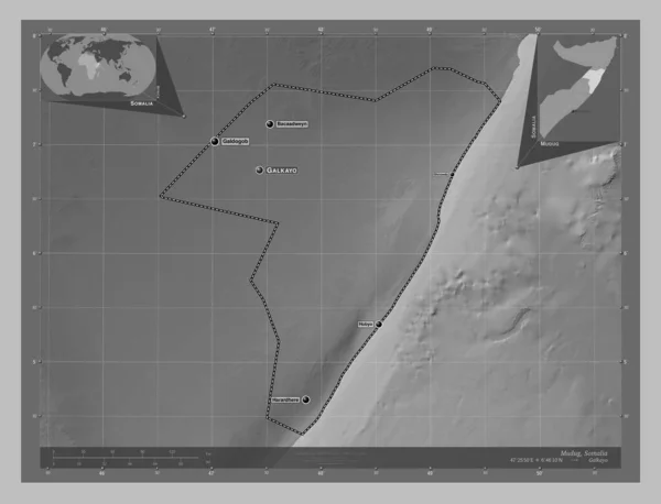
Mudug, region of Somalia. Grayscale elevation map with lakes and rivers. Locations and names of major cities of the region. Corner auxiliary location maps
Mudug Region Somalia Grayscale Elevation Map Lakes Rivers Locations Names — ストック写真
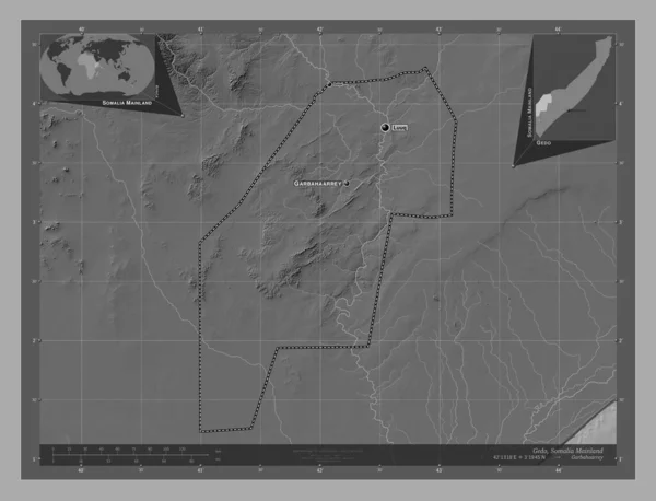
Gedo, region of Somalia Mainland. Bilevel elevation map with lakes and rivers. Locations and names of major cities of the region. Corner auxiliary location maps
Gedo Region Somalia Mainland Bilevel Elevation Map Lakes Rivers Locations — ストック写真
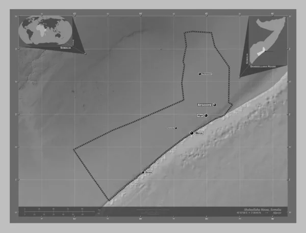
Shabeellaha Hoose, region of Somalia. Grayscale elevation map with lakes and rivers. Locations and names of major cities of the region. Corner auxiliary location maps
Shabeellaha Hoose Region Somalia Grayscale Elevation Map Lakes Rivers Locations — ストック写真
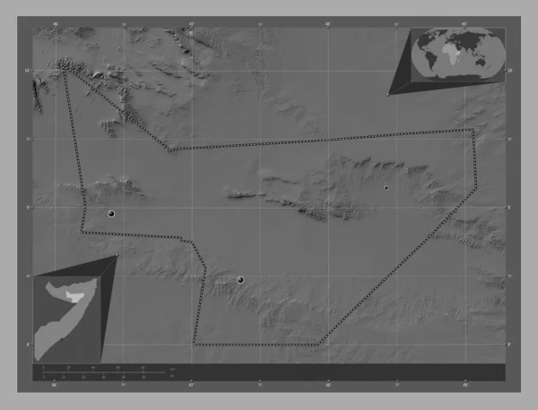
Bay, region of Somalia Mainland. Bilevel elevation map with lakes and rivers. Locations of major cities of the region. Corner auxiliary location maps
Bay Region Somalia Mainland Bilevel Elevation Map Lakes Rivers Locations — ストック写真
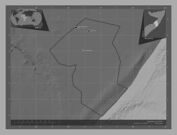
Galgaduud, region of Somalia. Bilevel elevation map with lakes and rivers. Locations and names of major cities of the region. Corner auxiliary location maps
Galgaduud Region Somalia Bilevel Elevation Map Lakes Rivers Locations Names — ストック写真
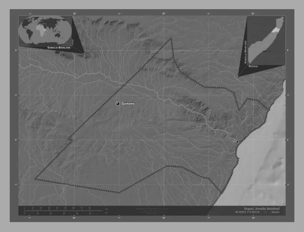
Nugaal, region of Somalia Mainland. Bilevel elevation map with lakes and rivers. Locations and names of major cities of the region. Corner auxiliary location maps
Nugaal Region Somalia Mainland Bilevel Elevation Map Lakes Rivers Locations — ストック写真
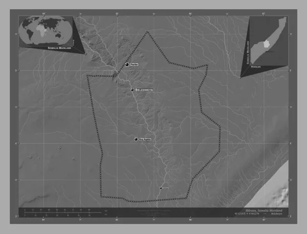
Hiiraan, region of Somalia Mainland. Bilevel elevation map with lakes and rivers. Locations and names of major cities of the region. Corner auxiliary location maps
Hiiraan Region Somalia Mainland Bilevel Elevation Map Lakes Rivers Locations — ストック写真
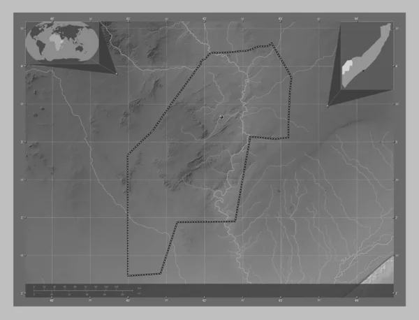
Gedo, region of Somalia Mainland. Grayscale elevation map with lakes and rivers. Locations of major cities of the region. Corner auxiliary location maps
Gedo Region Somalia Mainland Grayscale Elevation Map Lakes Rivers Locations — ストック写真
Gedo, region of Somalia Mainland. Grayscale elevation map with lakes and rivers. Locations and names of major cities of the region. Corner auxiliary location maps
Gedo Region Somalia Mainland Grayscale Elevation Map Lakes Rivers Locations — ストック写真
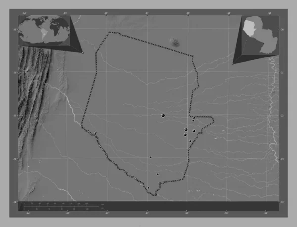
Boqueron, department of Paraguay. Bilevel elevation map with lakes and rivers. Locations of major cities of the region. Corner auxiliary location maps
Boqueron Department Paraguay Bilevel Elevation Map Lakes Rivers Locations Major — ストック写真
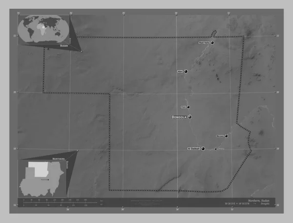
Northern, state of Sudan. Grayscale elevation map with lakes and rivers. Locations and names of major cities of the region. Corner auxiliary location maps
Northern State Sudan Grayscale Elevation Map Lakes Rivers Locations Names — ストック写真
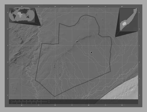
Gedo, region of Somalia Mainland. Grayscale elevation map with lakes and rivers. Corner auxiliary location maps
Gedo Region Somalia Mainland Grayscale Elevation Map Lakes Rivers Corner — ストック写真
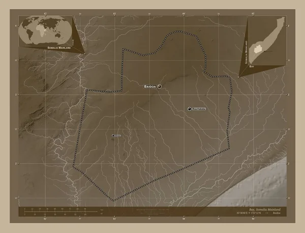
Bay, region of Somalia Mainland. Elevation map colored in sepia tones with lakes and rivers. Locations and names of major cities of the region. Corner auxiliary location maps
Bay Region Somalia Mainland Elevation Map Colored Sepia Tones Lakes — ストック写真
Sool, region of Somalia. Bilevel elevation map with lakes and rivers. Locations of major cities of the region. Corner auxiliary location maps
Sool Region Somalia Bilevel Elevation Map Lakes Rivers Locations Major — ストック写真
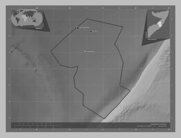
Galgaduud, region of Somalia. Grayscale elevation map with lakes and rivers. Locations and names of major cities of the region. Corner auxiliary location maps
Galgaduud Region Somalia Grayscale Elevation Map Lakes Rivers Locations Names — ストック写真
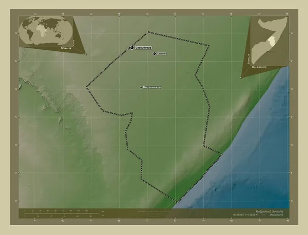
Galgaduud, region of Somalia. Elevation map colored in wiki style with lakes and rivers. Locations and names of major cities of the region. Corner auxiliary location maps
Galgaduud Region Somalia Elevation Map Colored Wiki Style Lakes Rivers — ストック写真

利用情報

このロイヤリティフリーの写真「 Gedo, region of Somalia. Grayscale elevation map with lakes and rivers. Locations and names of major cities of the region. Corner auxiliary location maps 」は、標準ライセンスまたは拡張ライセンスに従って、個人的および商業的な目的で使用できます。標準ライセンスは、広告、UIデザイン、製品パッケージなど、ほとんどのユースケースをカバーし、最大500,000部の印刷を許可します。拡張ライセンスでは、無制限の印刷権を持つ標準ライセンスに基づくすべての使用例が許可され、ダウンロードしたストック画像を商品、製品の再販、または無料配布に使用できます。

このストックフォトを購入して、最大4930x3770 の高解像度でダウンロードできます。 アップロード日: 2023年2月23日