Continents Map World Illustration Atlas World Continents Oceans Detailed Earth — ストック写真

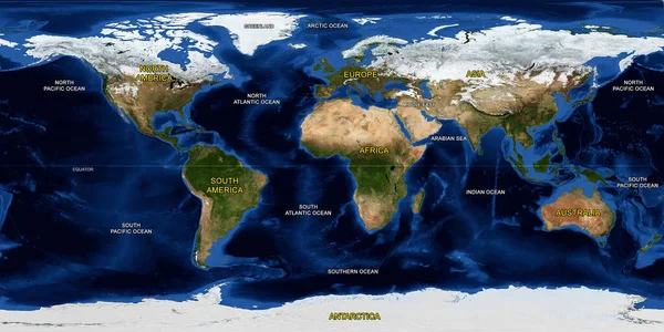
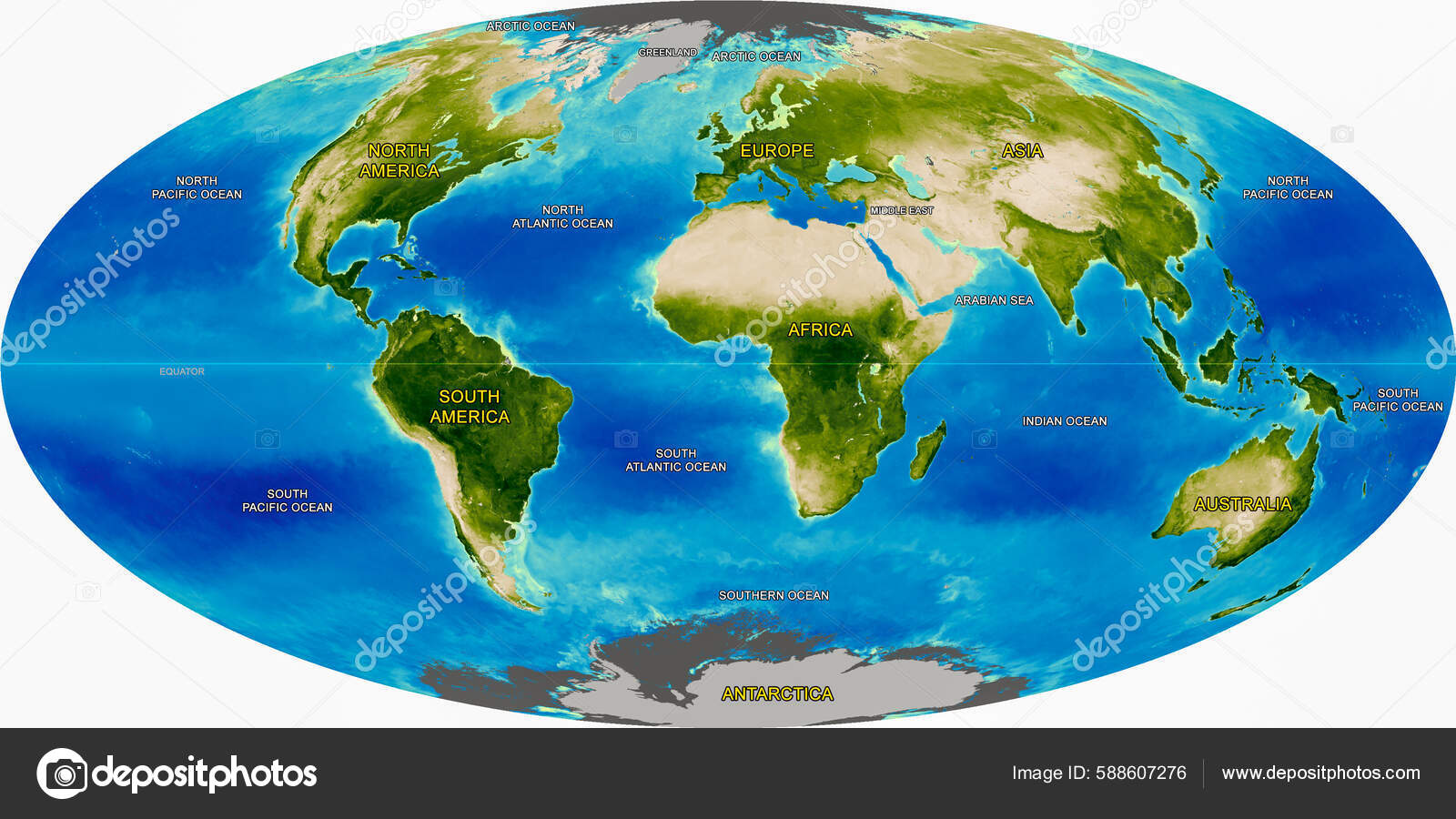
Continents map of the world illustration, Atlas of the World's Continents and Oceans, Detailed Earth physical map, Illustrated from global satellite photo. Elements of this image furnished by NASA — ストック画像

Continents map of the world illustration, Atlas of the World's Continents and Oceans, Detailed Earth physical map, Illustrated from global satellite photo. Elements of this image furnished by NASA

 — [著者]の写真 GG_Design

同じシリーズからのコンテンツ:

Earth Observatory Explorer Base Map, World flat view from space. Detailed physical atlas on satellite photo.Elements of this image furnished by NASA.
Earth Observatory Explorer Base Map World Flat View Space Detailed — ストック写真
Earth flat view from space. Detailed flat World physical map on global satellite photo, Panoramic planet map surface, for education, HD Earth continents. Elements of this image furnished by NASA
Earth Flat View Space Detailed Flat World Physical Map Global — ストック写真
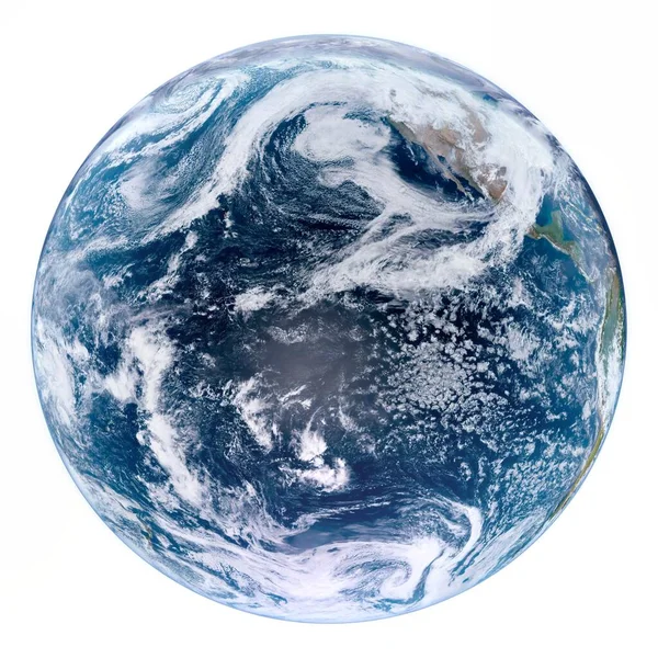
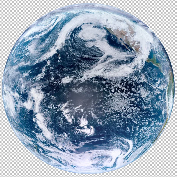
Isolated Planet Earth in a white background, world photo from outer space, high resolutiun closeup view of cloudy planet earth. Elements of this image furnished by NASA.
Isolated Planet Earth White Background World Photo Outer Space High — ストック写真
Planet Earth in the black background, world photo from outer space, closeup view of planet earth, shadows from a Solar Eclipse on the surface of the world. Elements of this image furnished by NASA.
Planet Earth Black Background World Photo Outer Space Closeup View — ストック写真
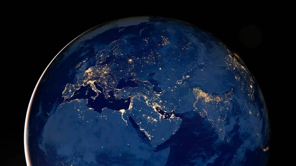
Earth photo at night on a black background. City Lights of America, Africa, Europe, Asia and the Middle East from space. World map at night time. Elements of this image furnished by NASA.
Earth Photo Night Black Background City Lights America Africa Europe — ストック写真
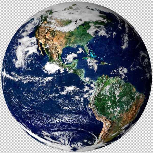
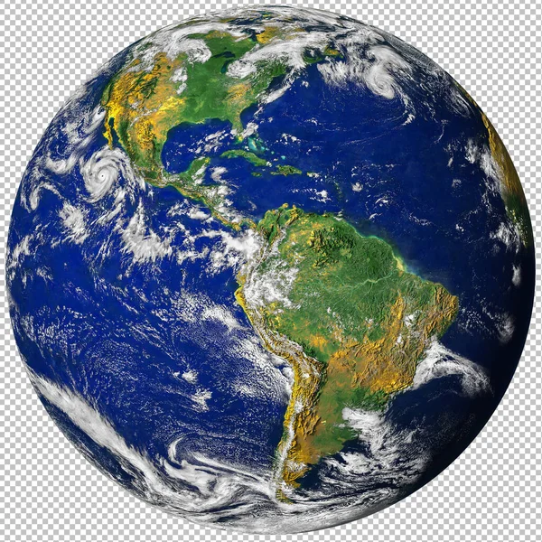
惑星地球は、宇宙から隔離されたpng画像、北と南アメリカの物理的な地図から、透明な背景にあります。衛星写真。NASAによって提供されたこの画像の要素.
惑星地球は 宇宙から隔離されたPng画像 北と南アメリカの物理的な地図から 透明な背景にあります 衛星写真 Nasaによって提供されたこの画像の要素 — ストック写真
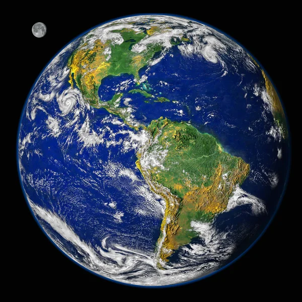
黒の背景に月と宇宙、北と南アメリカの物理的な地図から惑星地球地球。衛星写真。NASAによって提供されたこの画像の要素.
黒の背景に月と宇宙 北と南アメリカの物理的な地図から惑星地球地球 衛星写真 Nasaによって提供されたこの画像の要素 — ストック写真
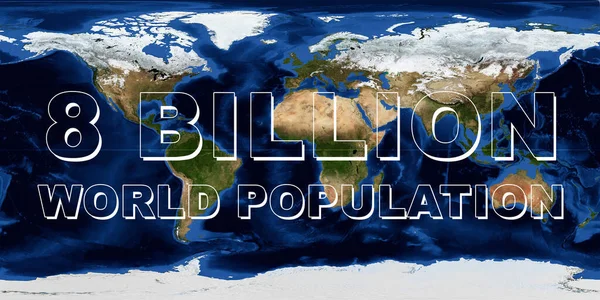
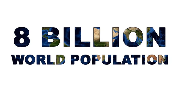
地球地図上の80億の世界人口の概念。世界人口の日。NASAによって提供されたこの画像の要素.
地球地図上の80億の世界人口の概念 世界人口の日 Nasaによって提供されたこの画像の要素 — ストック写真
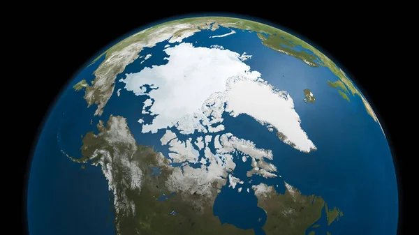
地球上の北極海の氷の地図3Dイラスト。NASAによって提供されたこの画像の要素.
地球上の北極海の氷の地図3Dイラスト Nasaによって提供されたこの画像の要素 — ストック写真
惑星地球は、宇宙から隔離されたpng画像、北と南アメリカの物理的な地図から、透明な背景にあります。衛星写真。NASAによって提供されたこの画像の要素.
惑星地球は 宇宙から隔離されたPng画像 北と南アメリカの物理的な地図から 透明な背景にあります 衛星写真 Nasaによって提供されたこの画像の要素 — ストック写真
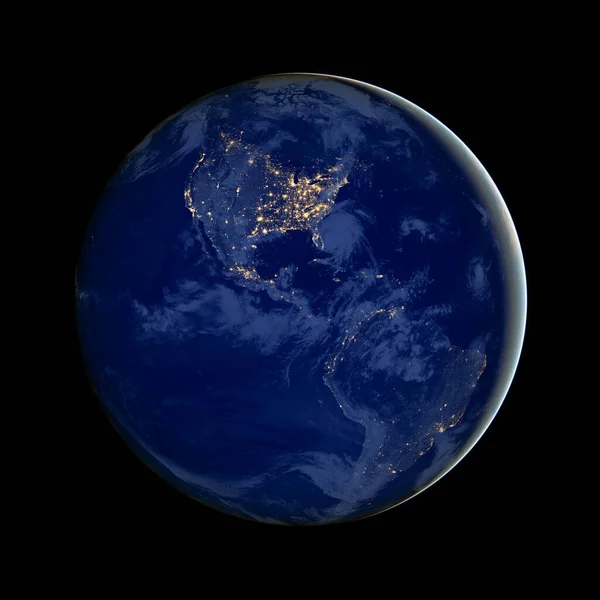
The image of North and South America at night, city lights, America in the darkness, earth photo at night with black background. Elements of this image furnished by NASA
Image North South America Night City Lights America Darkness Earth — ストック写真
Cyprus Island and the Mediterranean Sea on a summer day sky, Turkey Country, Earth satellite photo, World image taken from space, Top view, Aerial photo. Elements of this image furnished by NASA
Cyprus Island Mediterranean Sea Summer Day Sky Turkey Country Earth — ストック写真
黒を背景にした夜の惑星地球の写真、宇宙から見たアフリカ、ヨーロッパ、中東の都市の光、夜の世界地図、 HD衛星画像。NASAによって提供されたこの画像の要素.
黒を背景にした夜の惑星地球の写真 宇宙から見たアフリカ ヨーロッパ 中東の都市の光 夜の世界地図 Hd衛星画像 Nasaによって提供されたこの画像の要素 — ストック写真
隔離された惑星地球、宇宙空間からの世界の写真、雲の多い地球の高い解像度の近くの眺め。NASAによって提供されたこの画像の要素.
隔離された惑星地球 宇宙空間からの世界の写真 雲の多い地球の高い解像度の近くの眺め Nasaによって提供されたこの画像の要素 — ストック写真
黒を背景に宇宙から夜の地球。ミニマリズム技術、グローバルビジネス、金融やコミュニケーションのWebバナーの概念。NASAによって提供されたこの画像の要素.
黒を背景に宇宙から夜の地球 ミニマリズム技術 グローバルビジネス 金融やコミュニケーションのWebバナーの概念 Nasaによって提供されたこの画像の要素 — ストック写真
80億の世界人口の概念テキストは、地球地図上に隔離されています。世界人口の日.
80億の世界人口の概念テキストは 地球地図上に隔離されています 世界人口の日 — ストック写真

利用情報

このロイヤリティフリーの写真「 Continents map of the world illustration, Atlas of the World's Continents and Oceans, Detailed Earth physical map, Illustrated from global satellite photo. Elements of this image furnished by NASA 」は、標準ライセンスまたは拡張ライセンスに従って、個人的および商業的な目的で使用できます。標準ライセンスは、広告、UIデザイン、製品パッケージなど、ほとんどのユースケースをカバーし、最大500,000部の印刷を許可します。拡張ライセンスでは、無制限の印刷権を持つ標準ライセンスに基づくすべての使用例が許可され、ダウンロードしたストック画像を商品、製品の再販、または無料配布に使用できます。

このストックフォトを購入して、最大3600x1800 の高解像度でダウンロードできます。 アップロード日: 2022年7月19日